 |
| Discover
New Zealand, Home of Middle Earth |
 |
We are back in Queenstown at the Creeksyde
Top 10 Holiday Park, our previous stopover there. We find the picturesque
buildings and decorated boilers scattered about a familiar sight. After
breakfast, we head out to Deer Park in the Kelvin Heights to see some of
the LOTR locations we missed in our previous visit. The entrance to Deer
Park has an automatic toll gate, but the smallest bill I had was NZ$100,
so I inserted it and got a bagful of New Zealand two dollar coins in change. |
 |
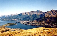 |
From this vantage point we can see Queenstown and look down on our
holiday park and our favorite restaurant. This area was used for a number
of publicity shots, including the famous one of Gandalf on the front of
the LOTR Location Guide. The photo of the Fellowship
marching across the hills single file in Eregion was also filmed here.
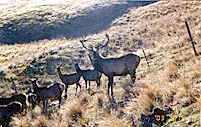
Stefanie was more interested in the animals, and took a number of stag
pictures, including this one of a suspicious stag watching to make sure
we didn't menace his harem. |
 |
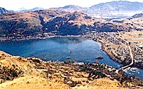 |
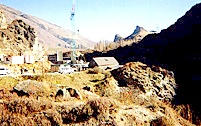
Just below us is the village of Frankton, the Queenstown airport and
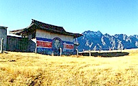
the outlet of the Kawarau River. At the top of the hill is the set of a
Korean prison from the film, The Rescue, which neither of us had ever seen or heard of before.
We remarked on the incongruity of leaving this old set from a film few
people ever heard of here while the sets from the greatest motion picture
of all time were all torn down. |
 |
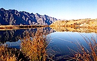 |
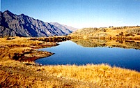
This glassy mountain tarn immediately struck us as a likely candidate
for Mirrormere, also known as Kheled-zâram, the birthplace of the
dwarves. On the right we can see the path from Edoras to Helm's Deep, along
which Eowyn led the refugees from Rohan. Since this path is along the base
of the Ered Nimrais mountains, the only likely candidate for this body
of water is the Deeping Stream, which flowed into the Entwash. The refugees
were going toward the orc invasion from Isengard, so Theoden was
taking an awful chance in sending his people that way. No wonder Aragorn
tried to talk him out of it! |
 |
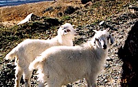 |
While I was scoping out the geography of Rohan, Stefanie was finding
animals to take pictures of. She thought these baby goats were soooo cute!
The mama goat wasn't all that thrilled about her kids associating with
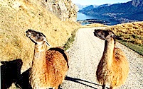
Stefanie, however. Later on we were mugged by these llamas that stood in
front of our camper van and wouldn't let us by until we took their picture
or gave them some food, which we didn't know was available from local vending
machines. They obviously thought that their left profile was their best
side. |
 |
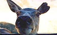 |
This doe with the ragged ear found us and pestered us for something
to eat. Stefanie remarked that she would like to get a close-up photograph,
so the deer thought, "You want close? I'll give you close!" and
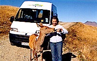
stuck her head in the window. We didn't have any food, but a lady we met
on the road said we could "give it a go" with Stefanie's bottle of beer,
so I got a picture of Stefanie feeding a beer-drinking deer drinking beer. |
 |
 |
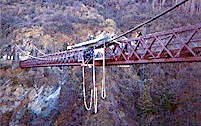
Coming back along the Kawarau river, we passed the A. J. Hackett bungy
jumping location, which, we were told, is the place where bungy jumping
was invented. It is right next door to the Pillars
of the Kings, that we visited on Tuesday. I asked Stefanie if she wanted
to try bungy jumping, and she said she didn't want to. She asked me if
I wanted to and I said yes, but I was afraid I was too old and might break
my hip or something again. Yeah, right! |
 |
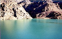 |
For our continuing exploration of Rohan, we next headed toward the
Ida Valley and the scenery around Poolburn which was the set for the Rohhirim
villages ravaged by the orcs. The mountains going right down into the reservoir
reminded us of the entrance gates to Mordor that were torn down by the
Watcher in the Water. The water is slightly rippled, suggesting that something
is underneath the surface. We passed the Cromwell hydroelectric
power dam at Clyde. There was precious little water coming out of the turbines. |
 |
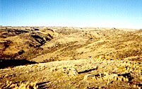 |
We were warned that the road to the Poolburn Reservoir is suitable
only for 4WD vehicles, but it didn't look too bad, and we hadn't been instructed
to stay off it, so I said, "what the heck!" (Stefanie was not entirely
convinced and claims I didn't say "heck.") Anyway, we took off into the
area where the Rohhirim, Legolas, Gimli and Aragorn were attacked by wargs,
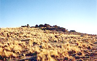
but we didn't see any. The landscape got progressively more difficult,
but the "road went ever on and on" so we followed it as long as we could. |
 |
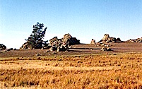 |
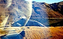
We saw a lot of Rohan, and remarked that it didn't seem too good a
place to graze horses, but perhaps it is greener in summertime. This area
may be the entrance to Dunharrow and the Paths of the Dead. The road got
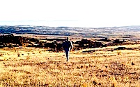
more and more tortuous, and finally we stopped at the top of an incredibly
steep slope and decided we were as close as we are going to get. This is
a picture of me coming back to the camper van after scouting for alternate
paths to tell Stefanie that we were turning back (to her great relief). |
 |
| Click here to go to Day 12 * Click
here to send us e-mail |