 |
|---|
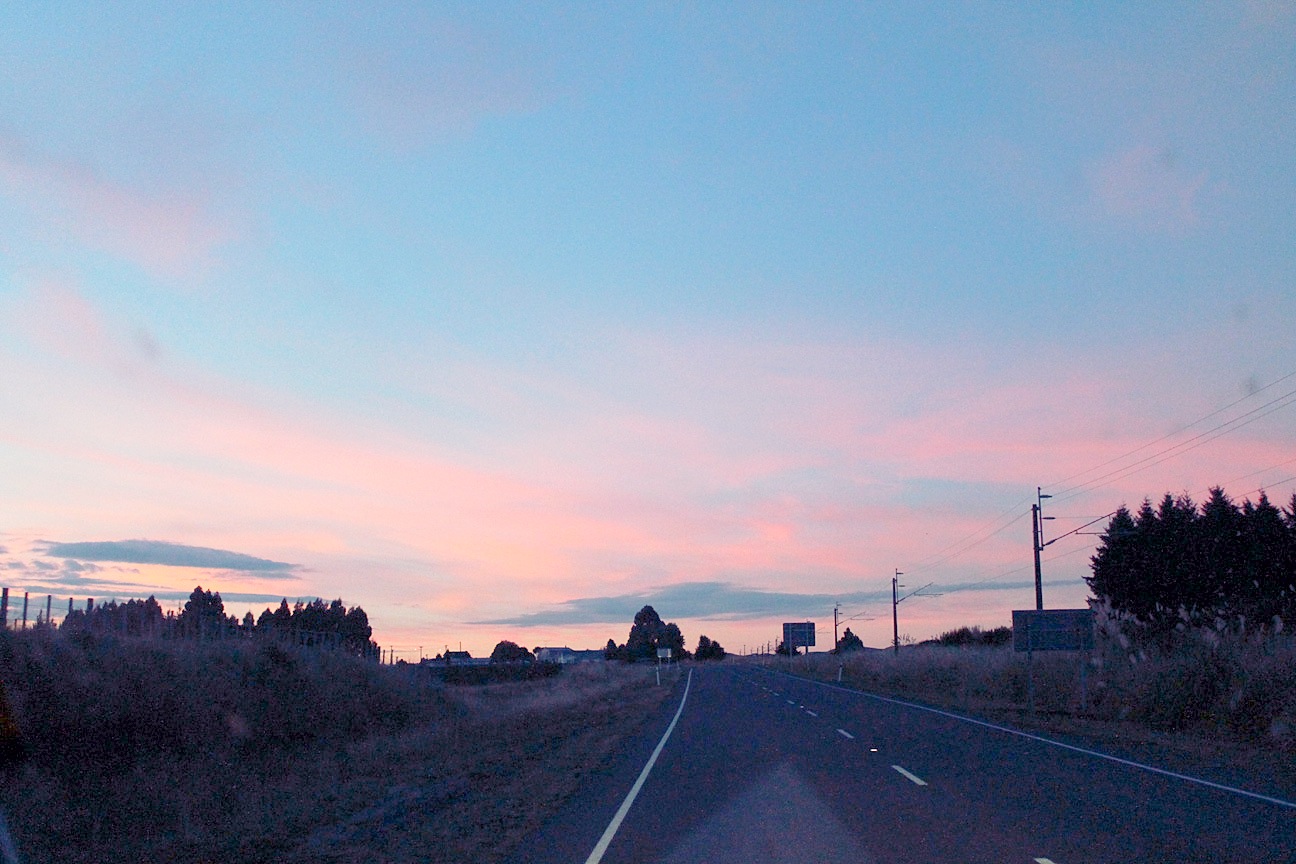
 | It is 7:27 AM, and we are on our way back to Taihape to go to St. Mary's Church. I have pretty much taken personally the problems I have had getting to church on vacation, especially since Pegah went to so much trouble to find me a place to stay near a Catholic Church in Brisbane. We have been advised by the Okahune i-Site lady that the schedule is for 8:00, so we are up at "Oh Dark Hundred" to make it on time. As it turns out, the schedule is for 9:00, so we could have slept for another hour. Pegah is reasonably understanding about all this, but doesn't take any more photos until we have passed Waiouru for the third time and entered Tongoriro National Park, which was supposed to be our first stop.
|
 |
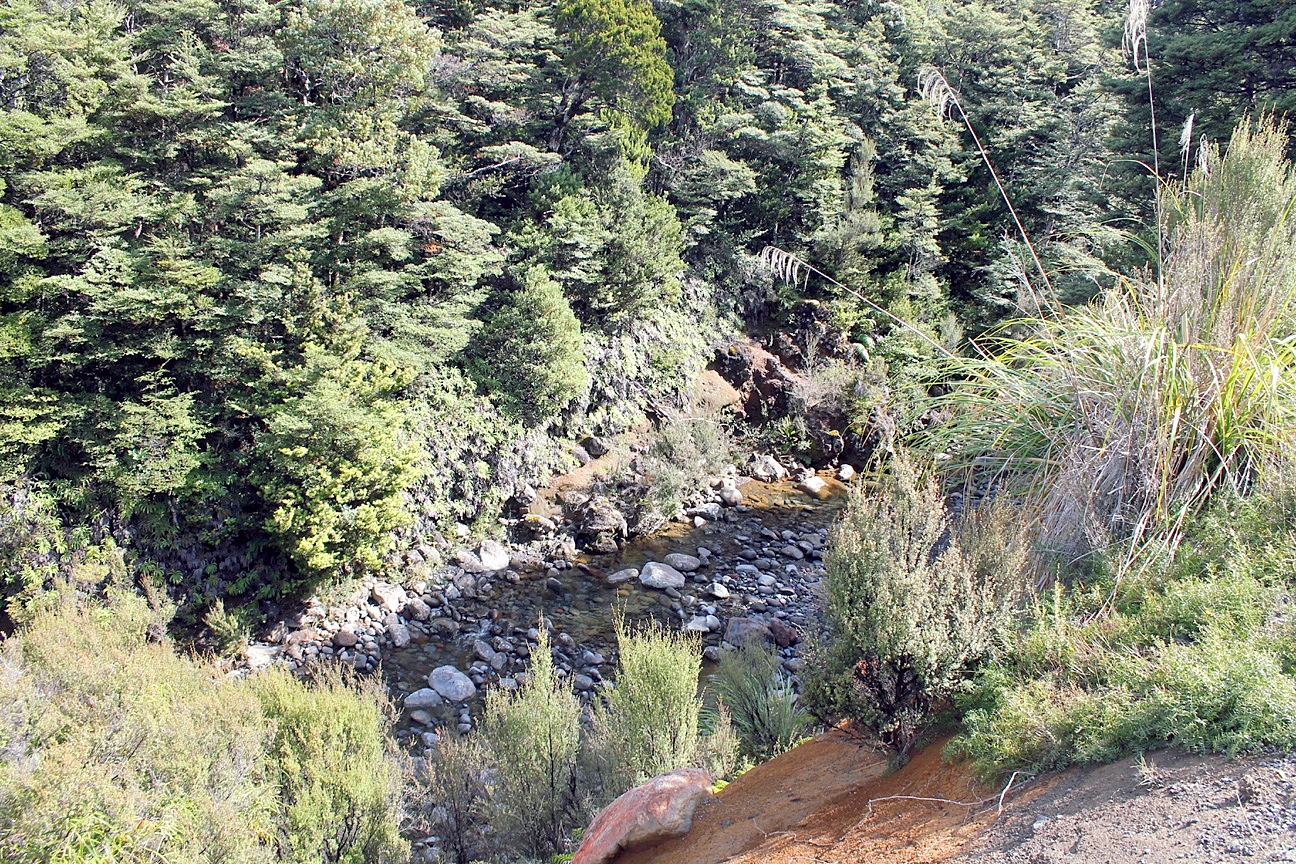
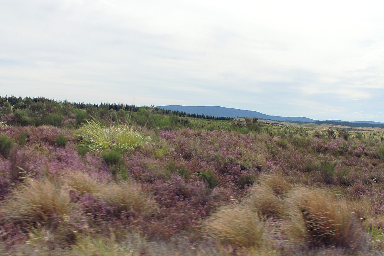
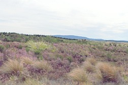
 | Our first LOTR stop of the day is at a little roadside parking area next to a pool that was used as the site in Ithilien where Gollum caught his fish. There is considerably less water in the pool, and the set is, at this time of year, unimpressive. We are therefore eager to find the location specified in Ian Brodie's Location Guide of the "secret door" entrance to Erebor in The Hobbit - An Unexpected Journey. The photo on the right is near as we can tell to where Mr. Brodie said it was. One of the more surprising events of the day happened as I was parking close to the edge of a paved parking area to get some pictures. Pegah suddenly blurted, "Would you please try not to kill us?!" Turns out, she doesn't like heights at all! |
 |
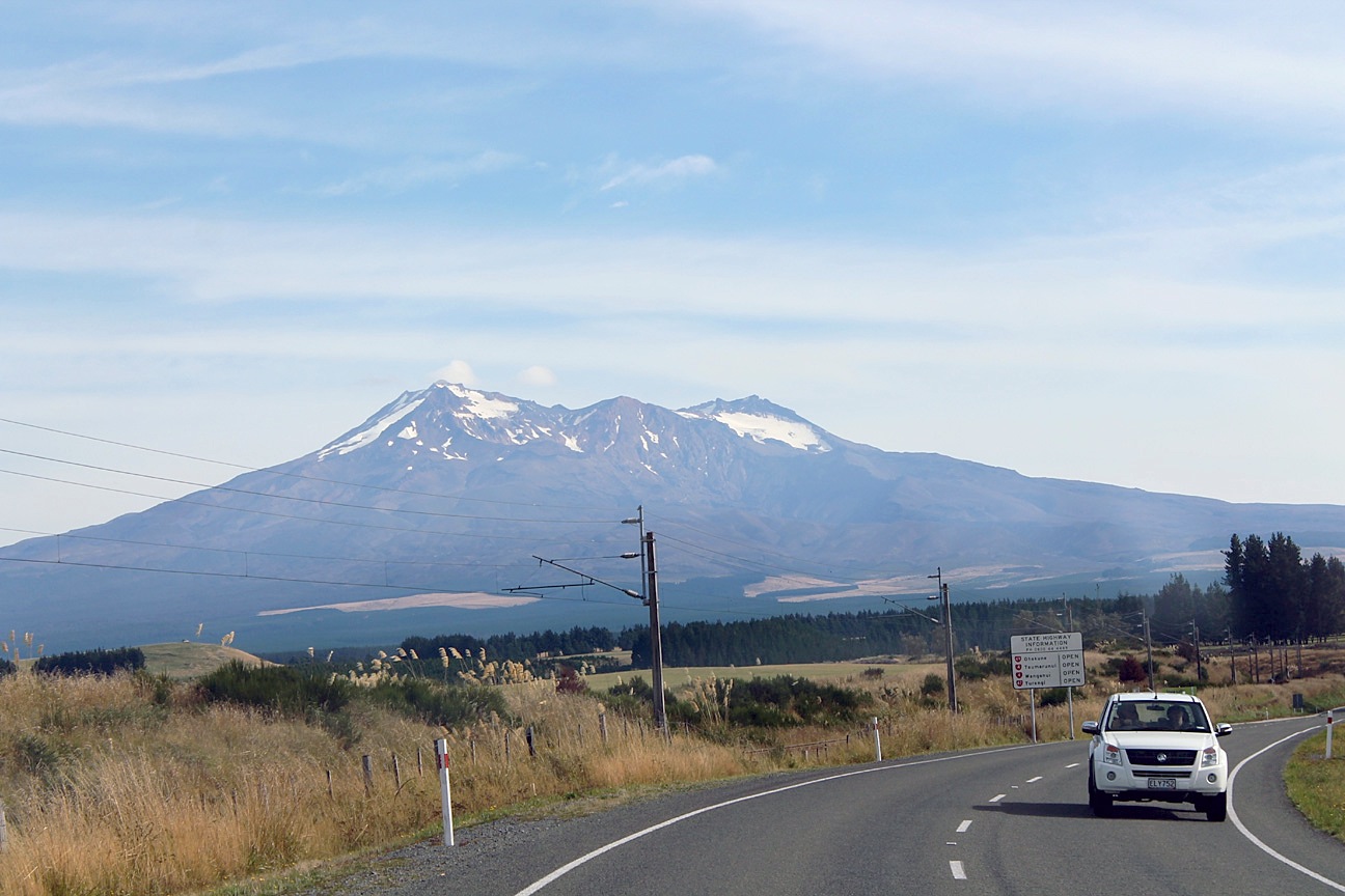
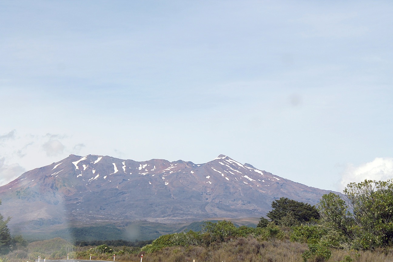
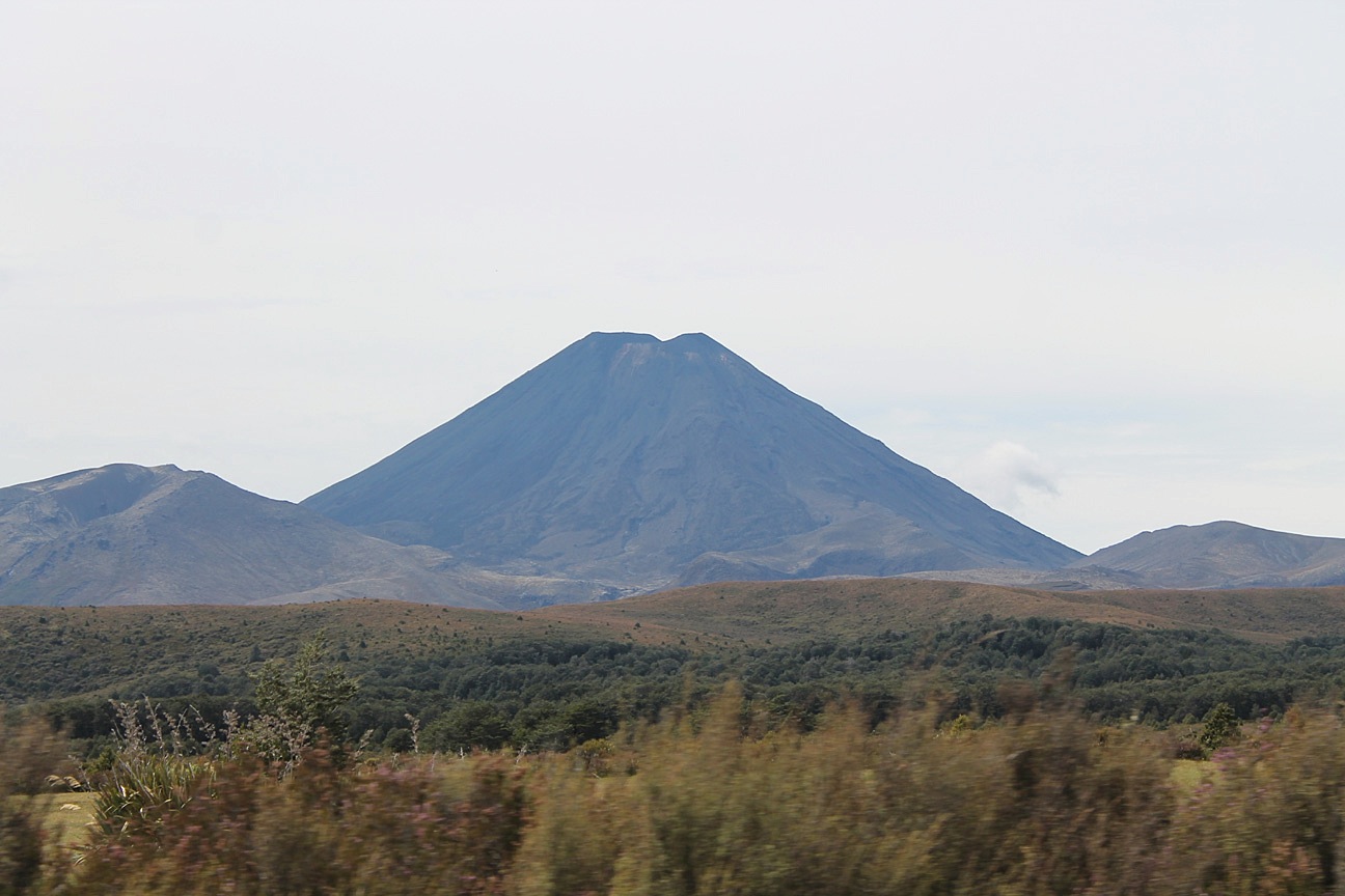
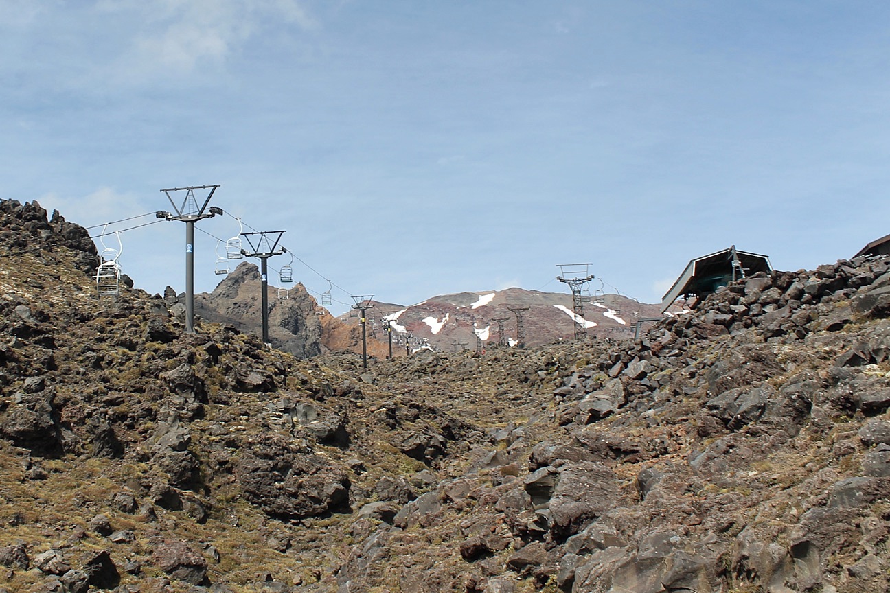
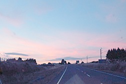
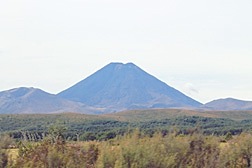
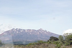 | Having exhausted my attempts to find the "secret door" and Pegah's patience with my driving too close for her comfort to the edges of cliffs, we resumed our journey by returning to Okahune and then following State Highways 4 and 47 to State Highway 48. This highway, with wide, comfortable (flat!) shoulders, leads to the Whakapapa village and ski field and the location for the filming of a number of scenes in Mordor in LOTR. Mount Ngauruhoa, on the left, dominates the entrance route, while in the distance it is obvious that we are approaching Mount Ruapehu. This iconic landmark served as Mount Doom in LOTR and some shots of the Lonely Mountain in The Hobbit.
|
 |
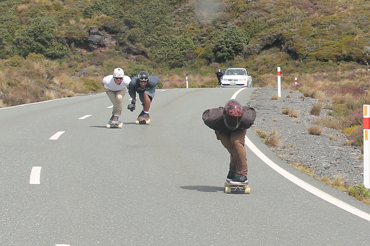
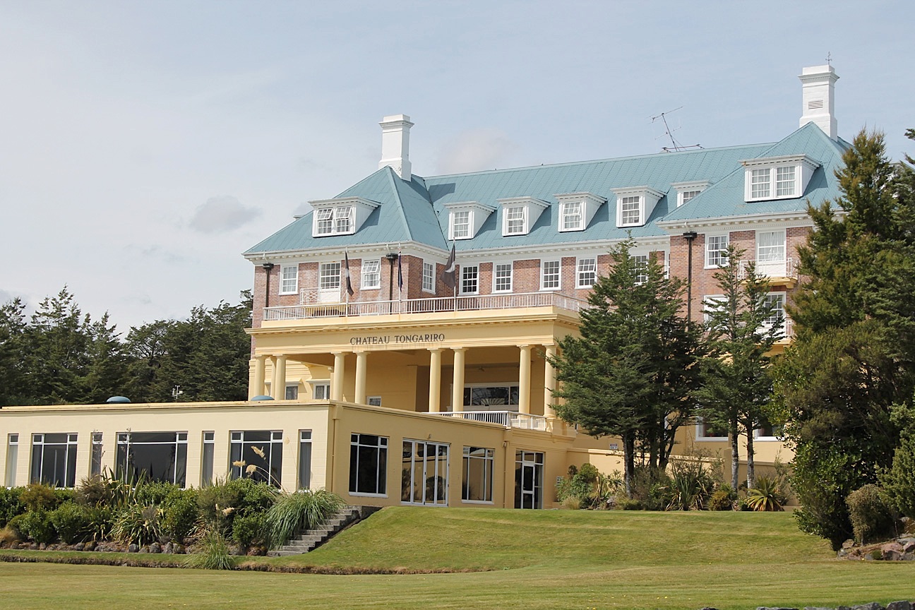
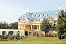
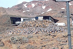
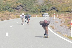 | As we approached the Whakapapa Village, we encountered these daredevil skateboarders racing down the highway, apparently heedless of potential catastrophe! We tried to stay well clear of them as we continued to the Chateau Tongariro, a famous luxury hotel. The LOTR location crew stayed here during filming scenes in Mordor. It was built in six months and opened for guests in August 1929, still unfinished and grossly over budget, three months before the Stock Market Crash wiped out the builders' plans of attracting additional investors and paying guests. Completed through government intervention, the hotel today recalls the timeless elegance of the bygone pre-Depression era. |
 |
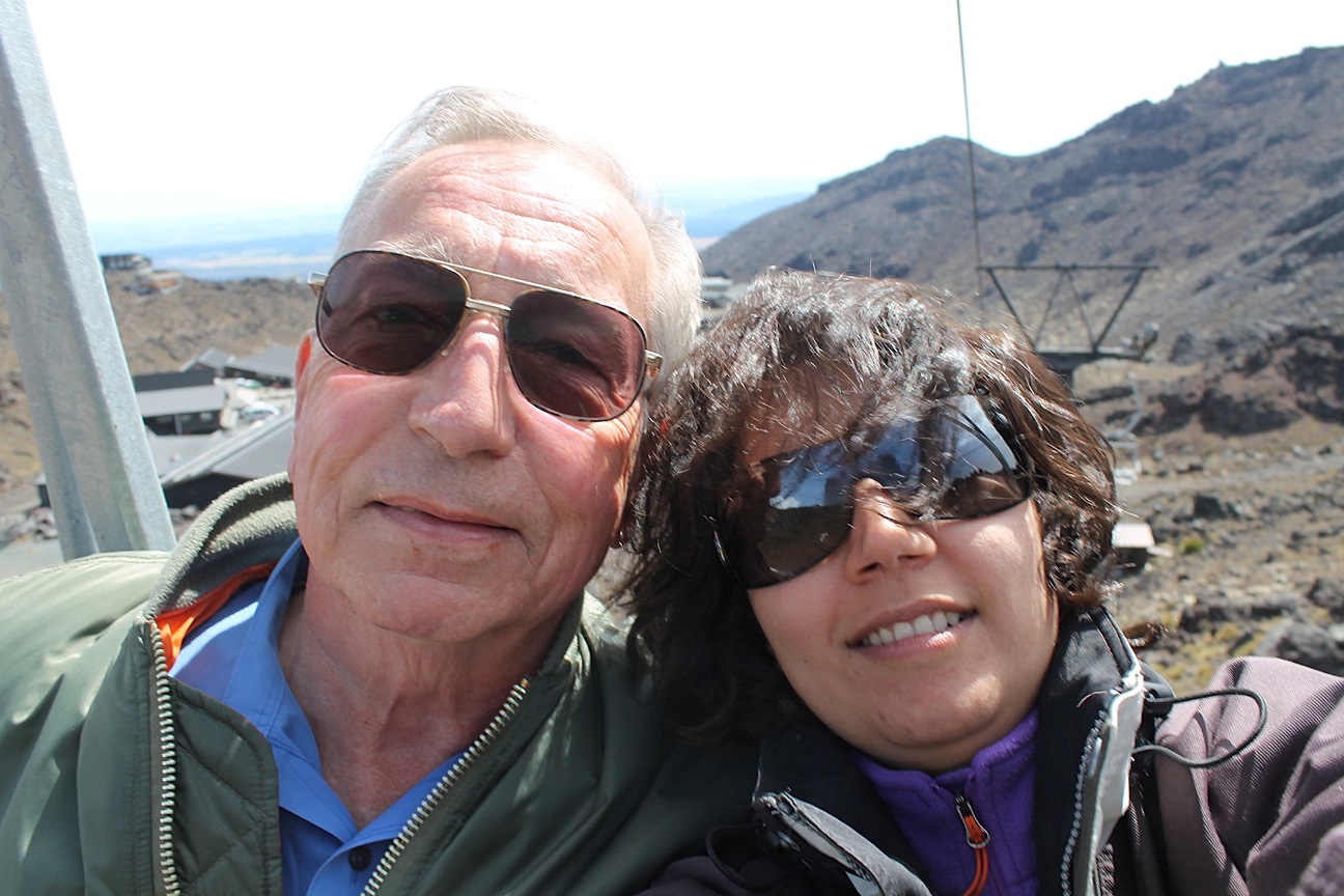
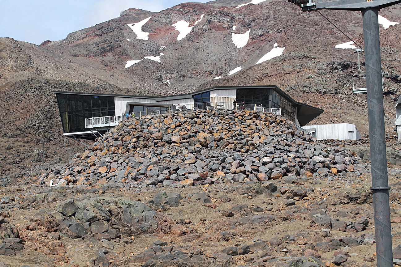
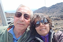
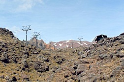 | The "high" point of our day was at the Whakapapa Ski Field, a modern snow ski resort with, unfortunately, precious little snow. I am eager to show Pegah the land of Mordor, including the cliff where Frodo and Sam captured Gollum, the wasteland of the Emyn Muil, the plain of Dagorlad, the hobbits' trek to Mount Doom, and the exact spot where Isildur cut the Ring from Sauron's hand. So I am somewhat surprised to learn that Pegah intends to seen all of Mordor she plans to see from a ride up the mountain on the ski lift instead. Fortunately, I have brought my jacket and Pegah is able to rent one as we ascend into noticeably colder mountain air. Here Pegah is taking a selfie of us on the lift.
|
 |
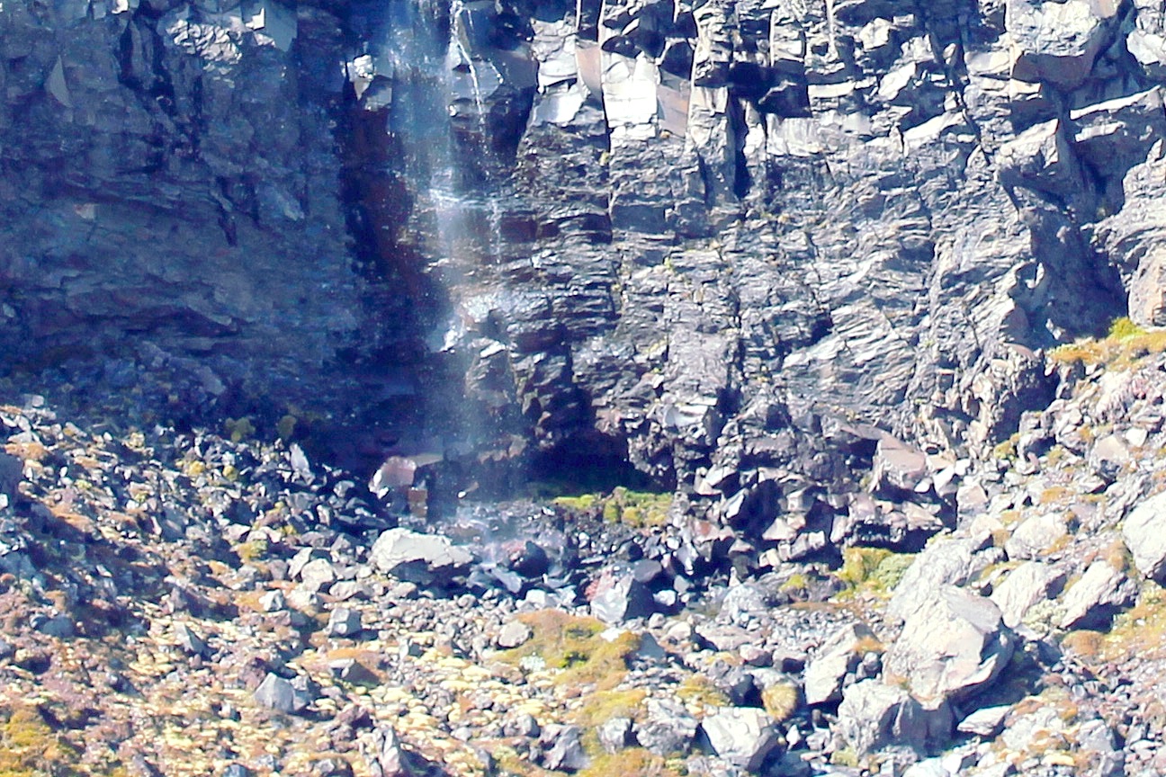
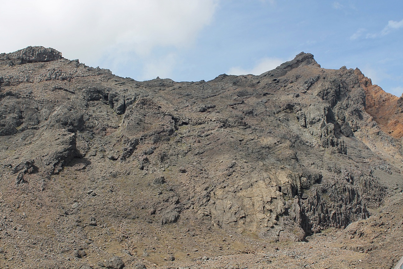
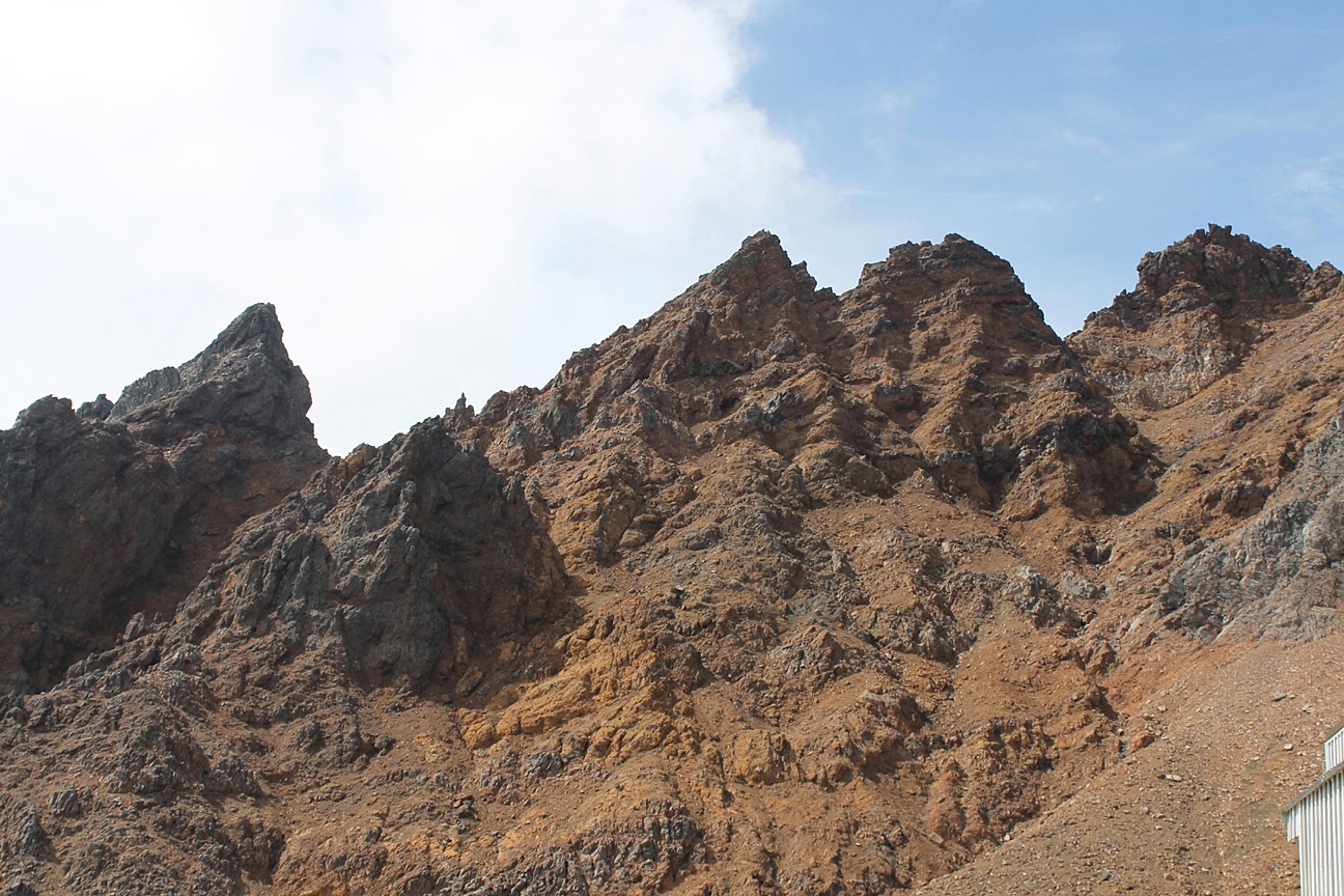
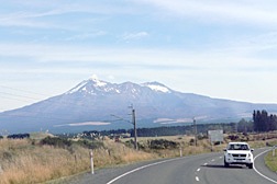
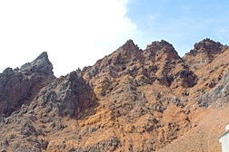
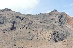 | It is easy to see why this area was used as the location for the dark land of Mordor. Ruapehu is one of the world's most active volcanoes, and the largest active volcano in New Zealand. The most recent eruption, accompanied by a 7- minute earthquake measuring 2.9 on the Richter Scale, was on 25 September 2007, when a hydrothermal eruption occurred without warning. Some of the ski lodges on the mountain and roads in the area were closed as a precaution. Seeing the loose, jagged landscape around the volcano gives one a vivid impression of the difficulty Frodo, Sam and Gollum would have had climbing over the Mountains of Shadow. |
 |
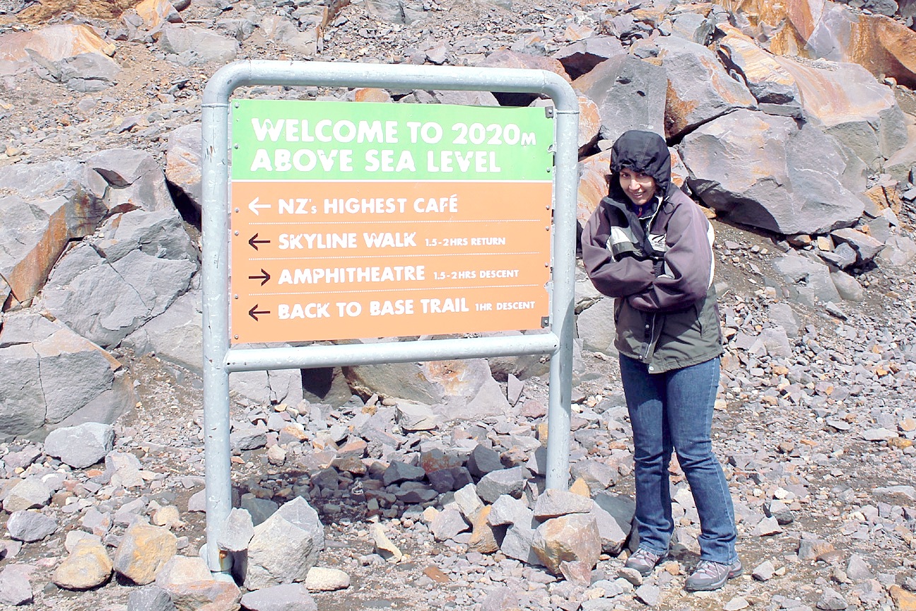
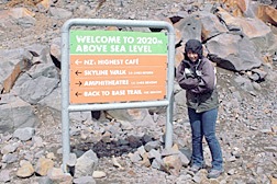 | Pegah's home city of Shiraz, at the foot of the Zagros Mountains, is approximately 1500 meters above sea level, so this sign at an 2020 meters (6625 feet) is much more like her home than mine on the shores of the Gulf of Mexico. Still, it is considerably colder than we would expect, and I am grateful to her for insisting I wear my jacket. New Zealand's highest cafe is the Knoll Ridge Cafe, featuring incredible views over the upper slopes and a wide assortment of meal menus. They feature a fresh salad bar, hot dishes from around the world, cafe style snacks & espresso coffees. At this time of year, the employees appeared to outnumber the guests, but, thankfully, the cafe was still open for business.
|
 |
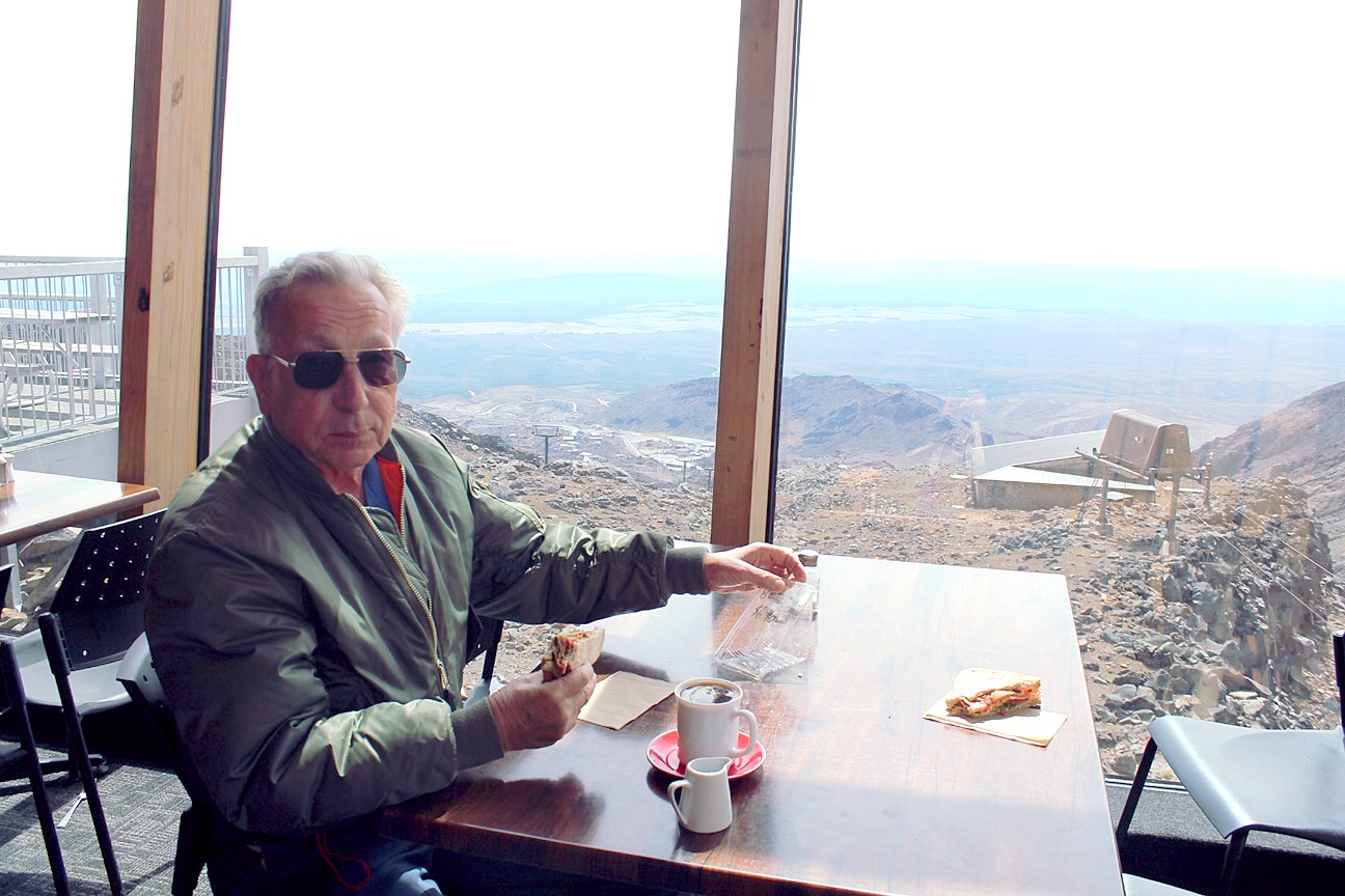
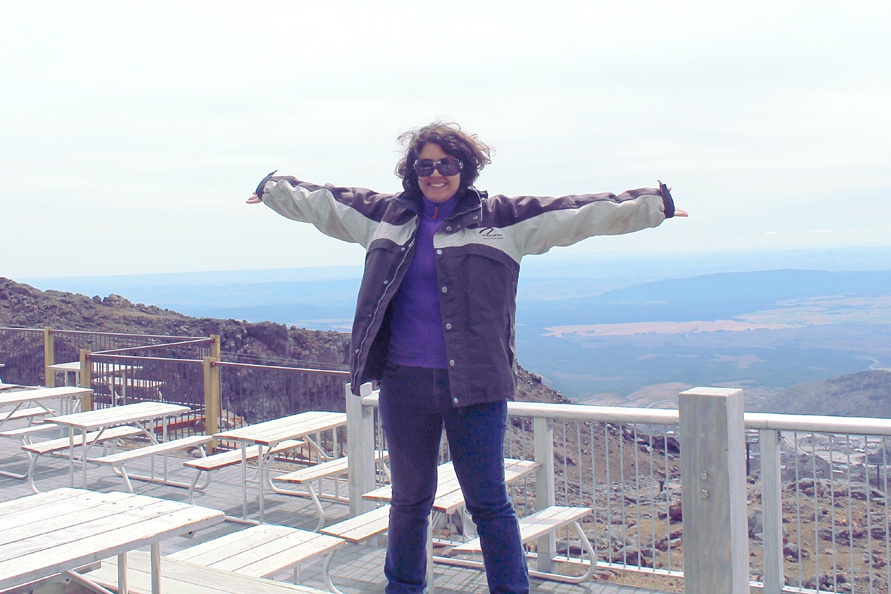
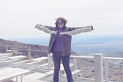
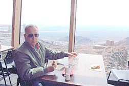 | Here I am enjoying a sandwich and a cup of coffee overlooking the lower terminal of one of the ski lifts and a stunning view of the Whakapapa village and the Ruapehu District beyond. This area was used as the background for the Last Battle of the Second Age, when "A Last Alliance of men and elves marched against the armies of Mordor, and on the slopes of Mount Doom they challenged Sauron for the freedom of Middle Earth. Victory was near, but the power of the Ring could not be undone." Here Pegah is reenacting an episode from a different film about disaster and eventual triumph, Titanic, as she imitates the "king of the world" scene on the bow of that famous vessel.
|
 |
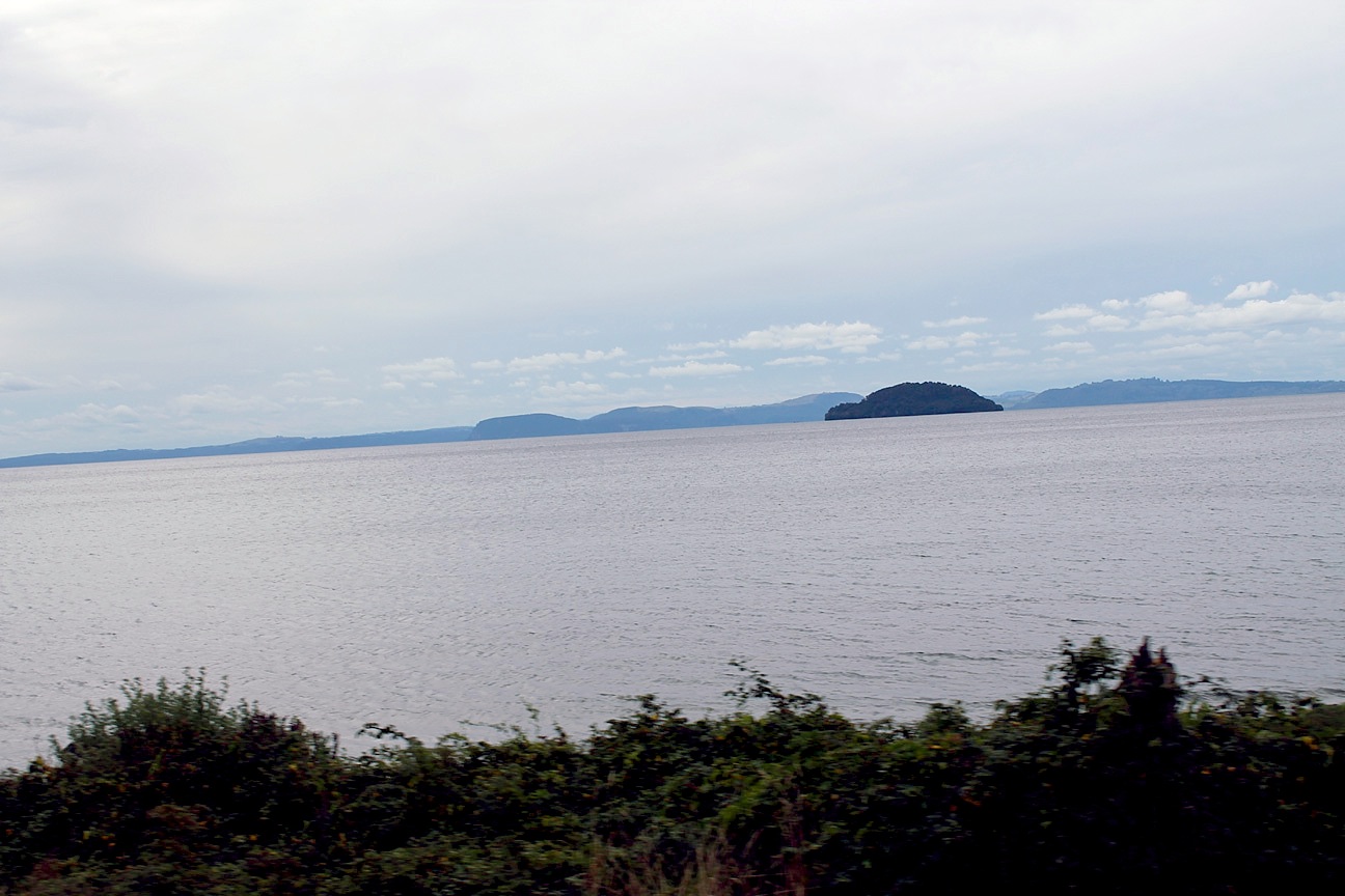
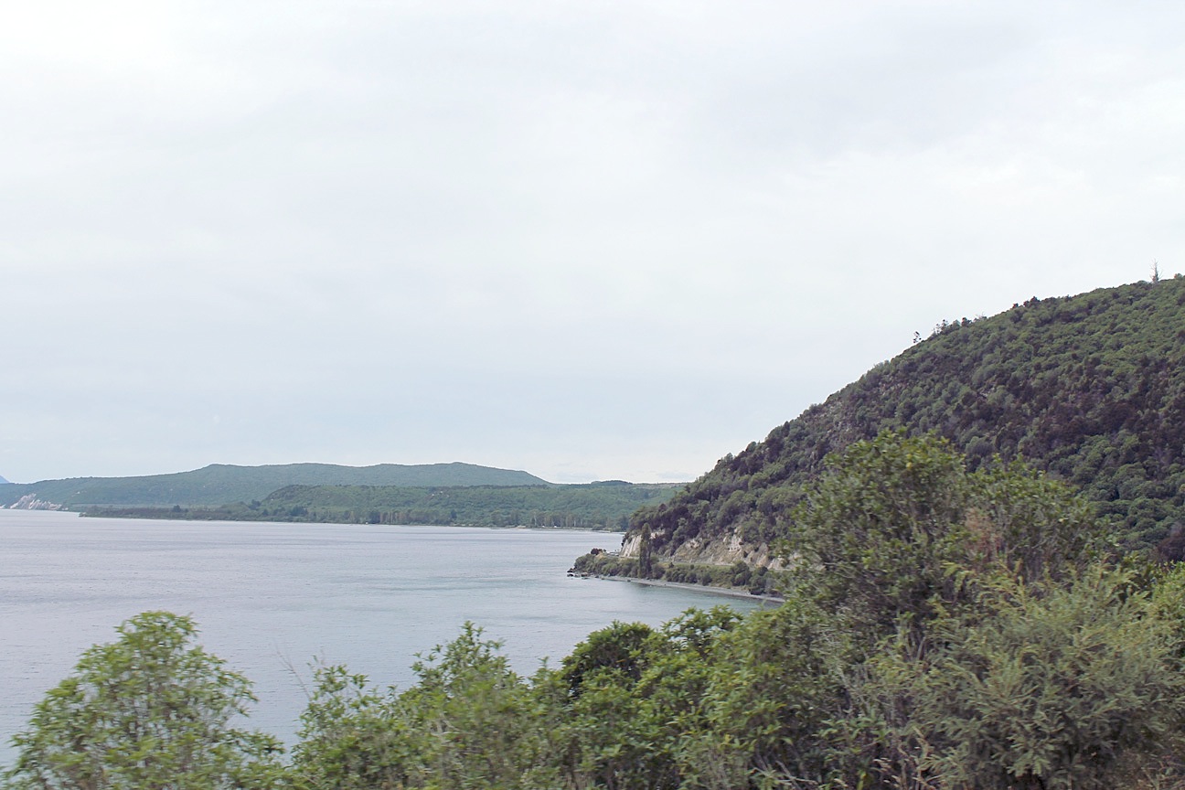
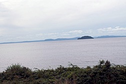
 | From the Tongariro National Park we headed northeast to rejoin State Highway 1 on our way to the town of Taupo and the lake of the same name. Lake Taupo has a surface area of 616 square kilometers (238 sq miles), making it the largest lake by surface area in New Zealand. It lies in a caldera created by an apocalyptic eruption that occurred approximately 26,500 years ago, with 28 eruptions believed to have occurred since then. The most recent major one was within the last 1900 years, and is thought to have been responsible for red skies recorded over Rome and China. The lake is young enough that the beaches have no sand, just tiny rocks becoming tinier with erosion and time.
|
 |
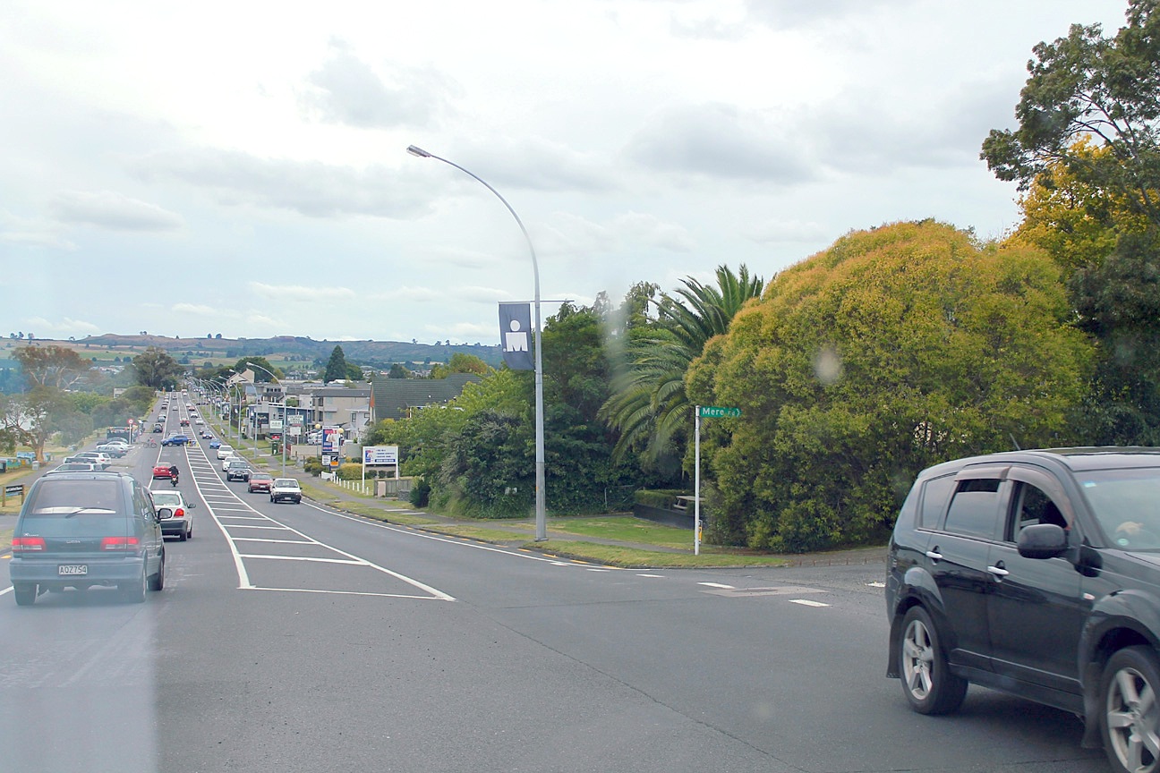
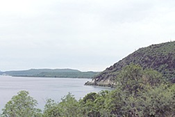 | The lake is so pretty that one would expect to see boats and all kinds of water sports, especially in New Zealand. There are Maori rock carvings from the late 1970s on the cliffs of Mine Bay on the northwest side of the lake intended to protect the lake from volcanic activity. Supposedly, this has become a popular tourist destination, but we didn't see any boats at all. The town on the lake is famous for its modern, clean environment. It lies next to the Waikato River, New Zealand's longest, which drains the lake. The Taupo Top 10 Holiday Park is absolutely huge, with a motel, self contained cottages and cabins and powered and non-powered sites for campervans and trailers of every size and description. |
 |
| Click here to go to the next page. |
|---|