 | ||
| Discover New Zealand, Home of Middle Earth | ||
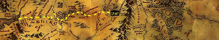 | ||
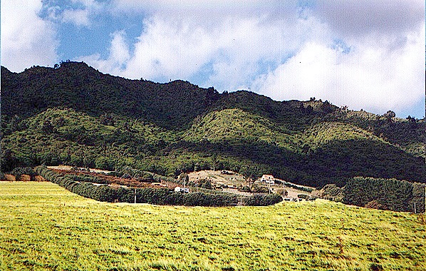 | The Bombadil Farm, or so we called it, is on the eastern side of a hill just outside the eves of the Old Forest that runs sharply north from here. The people who now live there didn't know anything about anyone named Bombadil, but they were very nice to us and invited us to stay the night, which is a common practice in this area. The hilly country of the Barrow Downs begins within the Forest and marches away east, dark and forbidding in the early morning light. |  |
 | It is easy to get one's direction confused, as the hobbits did, even before one enters the Barrow Downs. The terrain is rough and hilly, with small trees and gullies everywhere. It seems perpetually covered with fog and low clouds, which makes it impossible to keep one's direction by reference to the sun or shadows. We would have been lost without a compass and GPS. We didn't find any barrows, but we didn't get lost, either, and eventually got through without incident. | 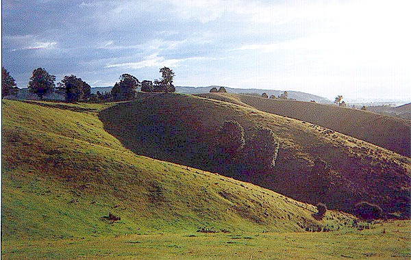 |
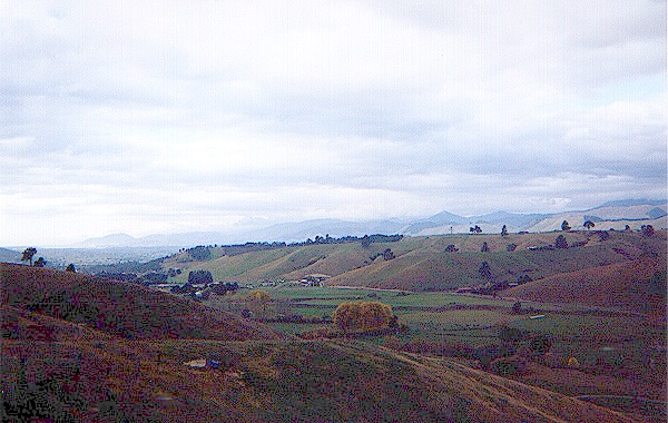
 | The northern edge of the Barrow Downs falls away quite suddenly at the edge of open and fairly level green pasture land that gives the Greenway, about four miles to the east, its name. There is a dike at the edge, obviously not a natural land form. It is broken and eroded in spots, and we got across it easily. The Great East Road at this point is below the top of a steep bank, from which it is possible to look away southwest at the dark and gloomy Borrow Downs. | 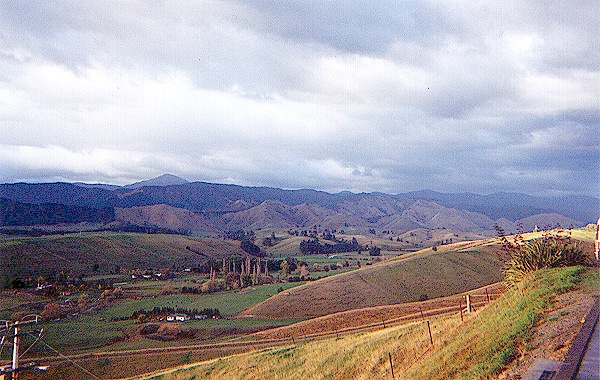 |
 | The Great East Road runs a little north of east toward the Chetwood and Bree Hill, a small, inhabited region, like an island in the empty lands round about. There used to be a semicircular dike and hedge on the west side, with one gate to the west, but there is no gate there now, and only low bushes mark the area where once the hedge must have stood. Bree itself is a fairly large town, and covers the whole of Bree Hill from the bottom to the very top and beyond. |  |
 | Staddle, Combe and Archet were once separate villages, connected to Bree by a narrow back road. We found such a road at the top of a grassy hill, but the whole area is now one big town, and the road goes back down the hill to intersect the main thoroughfare that makes a great loop south of the Midgewater Marshes. Strider and the hobbits left the highway where the Chetwood lies on both sides of the road for a short distance, and headed north to the Weather Hills. | 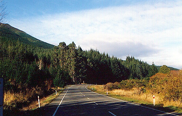 |
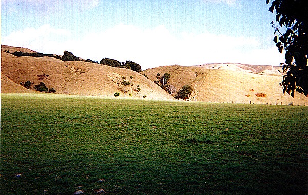
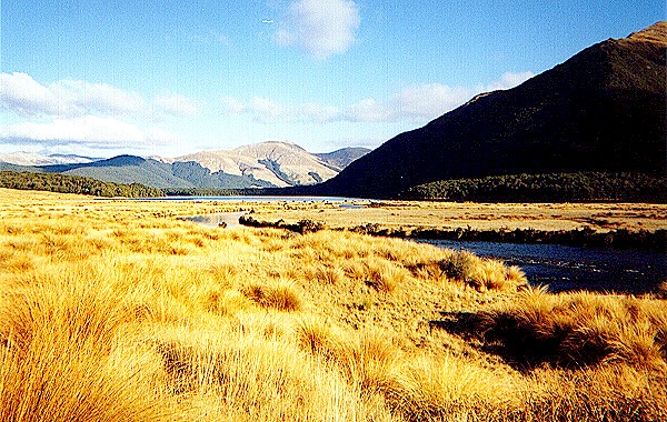
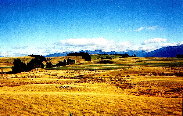 | At one time, the Midgewater Marshes were a real barrier to travel, but they are well drained rolling prairies now, with only pockets of soggy ground. We were therefore able to make good time toward the Weather Hills, with only a brief foray into the Chetwood. We followed what we thought was the route of Strider and the hobbits through the Marshes. Unlike the hobbits' difficult trek, we found the land quite sunny and pleasant, with no midges or "neekbreekers." | 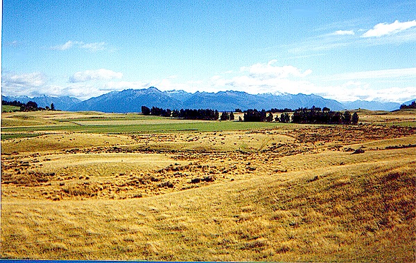 |
 | Near the eastern edge of the Marshes there is a weedy area and a little stream with a few trees. They make a sheltered spot with drinking water at which Strider and the hobbits may have camped on the night of October 4th. Beyond that area, separated by a narrow country road, is a flat grassy plain from which rise the wooded Weather Hills. We are at this point some 25 miles NNW of Weathertop. Strider was constrained to travel this far north because of the Marshes. | 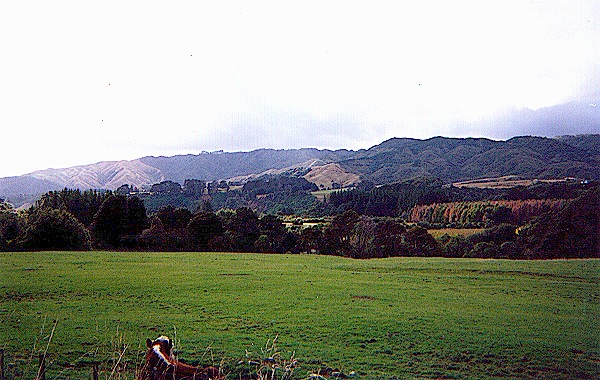 |
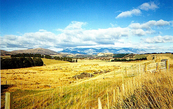
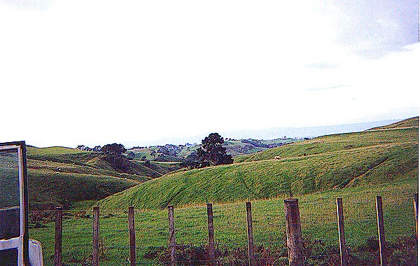 | The Weather Hills are rough and folded, green and grassy with a few trees and rocky outcroppings. There are a number of mounds and hills here, and it was extremely difficult for us to find Weathertop. Finally we came to what we believed was the right place. It is about four miles north of the highway and has a little dell on the west flank only half an hour's climb from the top. We couldn't find the ruins of Amon Sul, but the top is flat, an obvious location for a watchtower. |  |
 | Crossing the East Road, we headed west and south to follow the hobbits' journey across northern Cardolan to the River Hoarwell and the Last Bridge. The land here is very flat, but the hobbits found it very slow going, probably because of Frodo's deteriorating condition. The left photo shows the Tower Hills in the distance behind us. The right photo, where we crossed a country road, shows the Ettenmoors that rise sharply on the east bank of the River Hoarwell. | 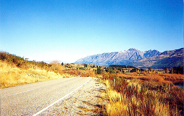 |
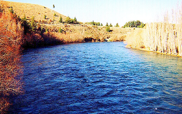
 | The land is a level plain right up to the Hoarwell, which flows along a channel that becomes progressively deeper as one goes north. Actually, the terrain tilts to the south slightly, which accounts for the deep channel of the Hoarwell upstream. It looks like one could cross the Hoarwell here on foot, but it is deceptively deep, and the only gap for a highway in the Ettenmoors is where the Great East Road and the Last Bridge actually are. | 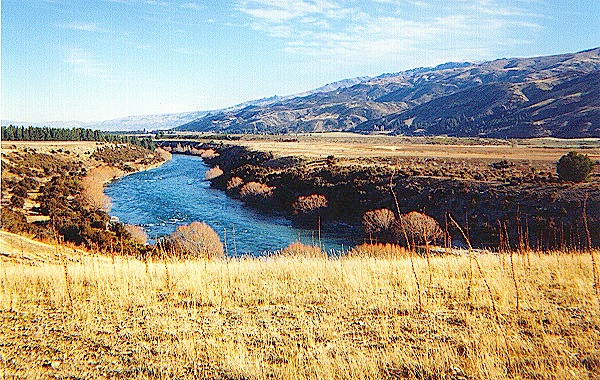 |
 | Just before one gets to the highway there is a little hill from which one can see the Hoarwell, and through the natural gap where the Last Bridge is the distant Loudwater, or Bruinen. Strider mentioned to the hobbits that Weathertop was half way to Rivendell from Bree, but the bridge is just a little farther away from Weathertop than Bree is, so what he probably meant is that Weathertop is halfway from Bree to the Last Bridge. Since he traveled frequently to Rivendell, he surely knew the distances involved. | 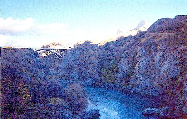 |
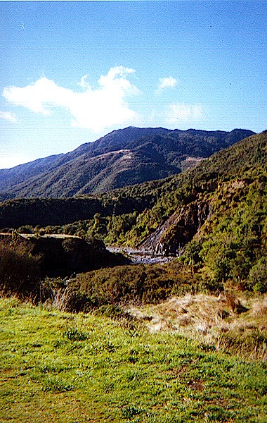 | Past the Last Bridge the land becomes rugged and wooded, the area known as the Trollshaws. The hills get higher and more difficult here. Bilbo and his companions were captured in this area by trolls, and Strider and the hobbits camped at the very spot where the sun came up and turned all the trolls to stone. We found the wooded path that both parties must have taken and proceeded warily, although we didn't find any trolls, stone or otherwise.
There is a little stream beside the path, coming down from the heights of the Ettenmoors. It meanders over rocks and gravel and through the wooded areas south toward the Loudwater. | 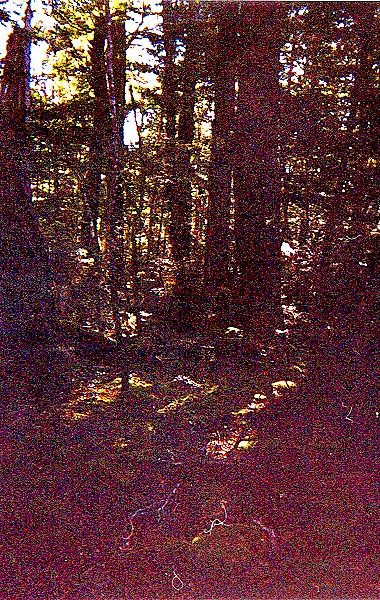 |
 | Climbing down the southern side of a ridge, we followed the path as it turned sharply left around a rocky shoulder of the hill and found a cave opening, from which arose a nasty smell! There was no door, but we assumed we were looking at a troll hole, perhaps the haunt of the very trolls who captured Bilbo. We didn't go in there! We put about ten miles behind us until we reached the edge of the Trollshaws and decided that it was reasonably safe to make camp for the night. | 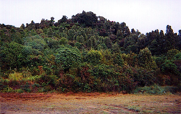 |
Click here to go to Day 5 * Click here to send us e-mail | ||