Discover New Zealand, Home of Middle Earth
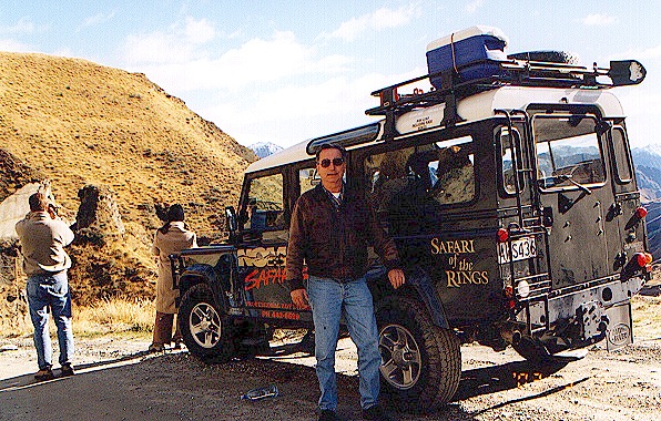
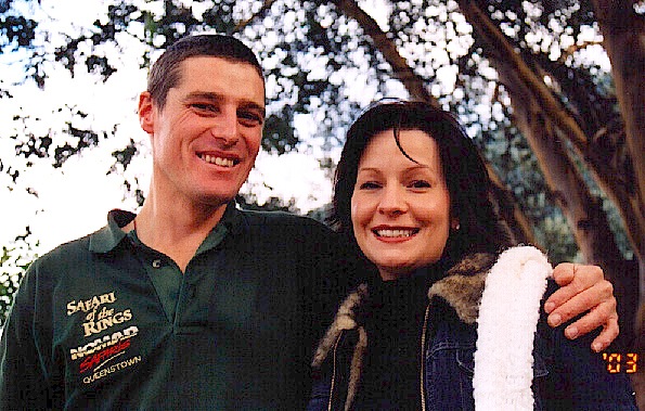
Tuesday, Day 9. We wake up early to meet Stoney and the rest of our new fellow Safari of the Rings travelers. It is cold!!! and we are all shivering in spite of warm coats and sweaters - all except Stoney, who is wearing walking shorts. After waiting around for "the Farraris," who turn out to be people who booked the trip but didn't arrive at their hotel, we motor on out to 
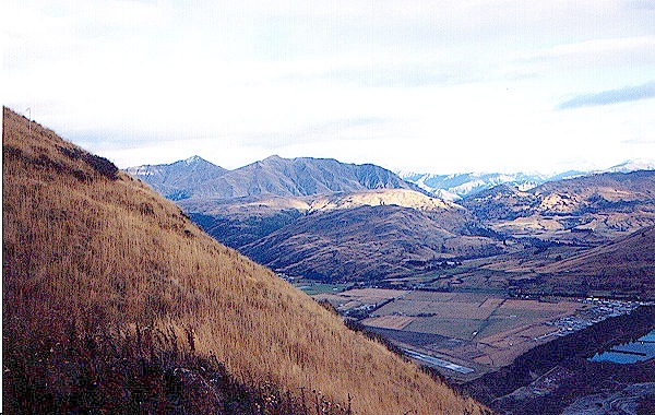
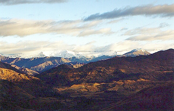
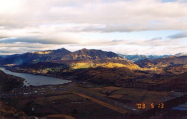
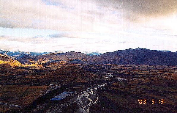
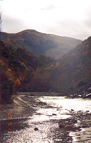
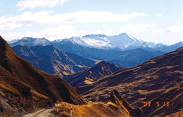
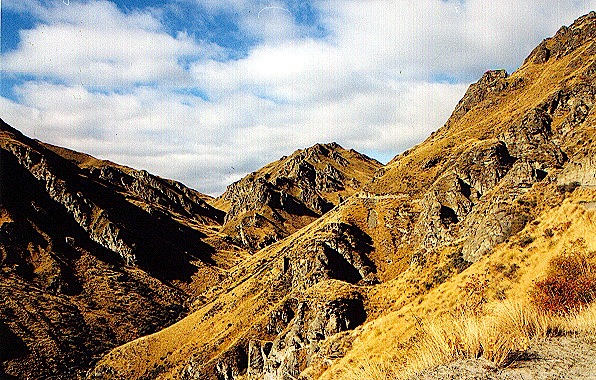
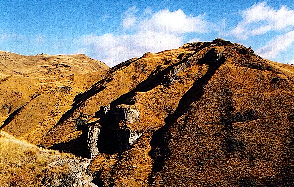
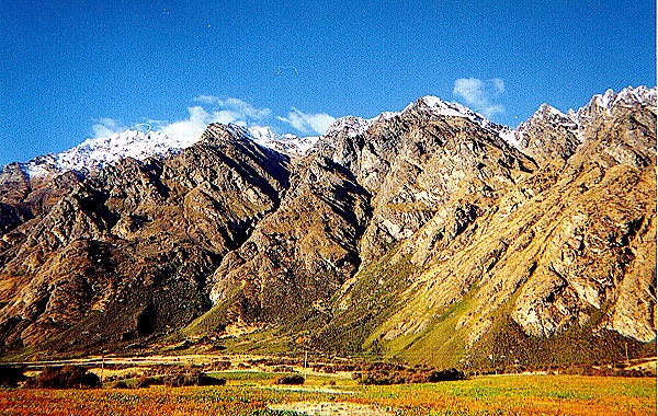
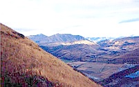
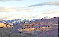
The Remarkables to begin the second part of our safari.
From The Remarkables we have a magnificent view of the Queenstown airport and Lake Wakatipu on our left, and the Kawarau River on our right. Not too far away is one of the locations of Dimrell Dale, where the hobbits and men escaped from Moria. It is a "20 minute hike up the hill" and "a reasonable level of fitness is required," so we didn't have the time (or, in my case, the energy) to get there and back without making the Safari leave without us.
The Kawarau River provided the location for the Ford of Bruinen, where Arwen saved the wounded Frodo from the Black Riders. In the book, Frodo is saved by the elf Glorfindel and, once across the ford, says with a last effort, "By Elbereth and Luthien the fair, you shall nave neither the Ring nor me!" I think the film was more realistic; Frodo was too sick to do much speechmaking. On the right are the Pillars of the Kings at the gates to the Argonath, with the huge statues of Isildur and Anarion with their outstretched hands. In this shot, we are standing behind where the statues were, facing the same way. The actual statutes were only about 9 feet high, but they looked tremendous in the film. 
This is my shot of the Ford of Bruinen at what is supposedly the exact spot where Arwen crossed. Actually the sequence involved both the Kawarau and Shotover Rivers, shooting upstream and downstream in what looked in the film like the same direction. We also visited the river bank where Sam and Frodo saw the Oliphaunts and were captured by Faramir. I discovered the monument while I was sloshing around following my GPS and compass. The plaque says, "William Fox discovered gold near here in 1862." He got a glacier, a river, a town, and numerous streets named after him. Stoney brought some gold pans and gave us a lesson in how to pan (fossick?) for gold, but I didn't find any.
The golden trees reminded us of the mallorns of Lothlorien, but at this point I got my directions confused, and lost track of exactly where we were. Stoney told us that this was the entrance to Mordor in "Return of the King." It is the actual entrance to Skipper's Canyon on the Shotover River, which is very steep and rugged. We had been warned that our camper van insurance was no good if we drove down there, but the 4WD Land Rover made easy work of the rugged terrain.
Stefanie insisted that I have at least one picture taken with me close to where the other people were on the safari instead of charging out in the boondocks on my own. She said people were wondering "where is that dratted wizard?" not unlike the dwarves in "The Hobbit." She had the others take a picture of the two of us in "Mordor" as well. We didn't see any deer or sheep, but we stepped in lots of evidence that they had been here.
It will be interesting to see this area as Mordor in the third film. The land is incredibly rugged, much more than Tongariro National Park, and I didn't want to take the chance of falling down the steep, rocky hills and breaking something. One of the photos we took looks like a cave entrance, which might have been an exit from Moria. Bilbo might have lost his coat buttons when he squeezed out here past Gollum.
At last we had to say goodby to Stoney and the rest of the safari before heading farther south. Queenstown offers every kind of tourist attraction imaginable; bungy jumping, sky diving, sailing, skiing, rafting, flying, you name it. They have all the equipment you would ever want for sale, too, and it is the best in the world. While we were eating lunch, we met one of our fellow travelers, Tanya, of the beautiful red hair, which shows how small the town really is.
We turned south at Frankton and headed past The Remarkables along Lake Wakatipu and then west on PH94 through Mossburn to Te Anau. The land jutting out into the lake reminded me of Tol Brandir, the island in Nen Hithoel just before the Falls of Rauros. There aren't any falls here, though, just the peninsula sticking out into the lake. We took more than enough pictures of the beautiful mountains on both sides. (Mountains, Gandalf!)
I was looking for big rivers to take pictures of for an "atlas of Middle Earth," but because of the drought we didn't see much water in them. On the way to Te Anau we crossed the Mataura, Oreti, and Mararoa Rivers, but with so little water they all looked pretty dry and very much like the same river. It would have been nice to see them when there was enough water to go boating. I had be content with picturesque little streams we crossed along the way.

Because we spent so much time stopping to take pictures, we were behind schedule and it was almost dark when we got to Te Anau. Stefanie got a nice photo of the sunset.

Click here to go to Day 10 * Click here to send us e-mail