Discover New Zealand, Home of Middle Earth
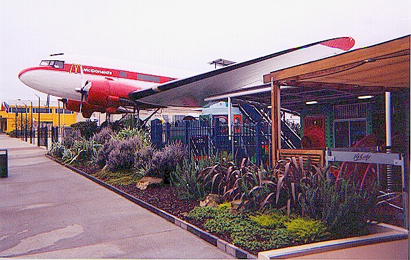
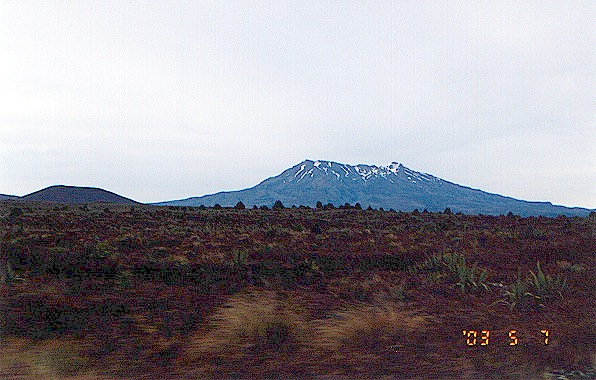
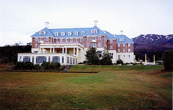
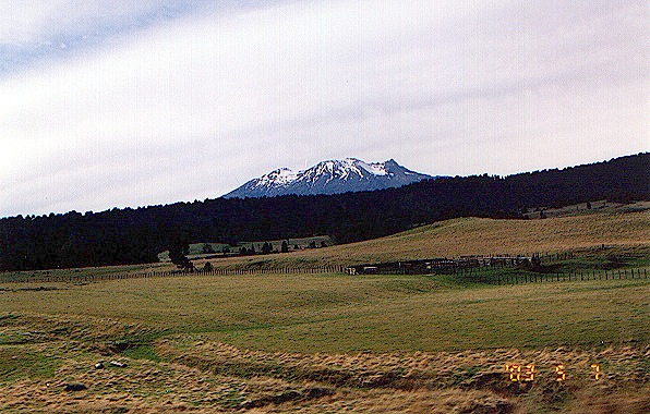
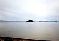
Wednesday, Day 3. We still wake up much too early at the Lake Taupo Top 10 Holiday Park, just down the road from a McDonald's Restaurant 
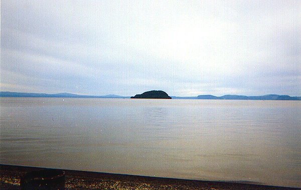
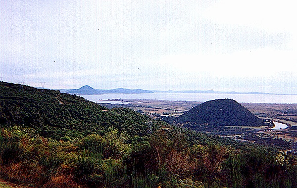
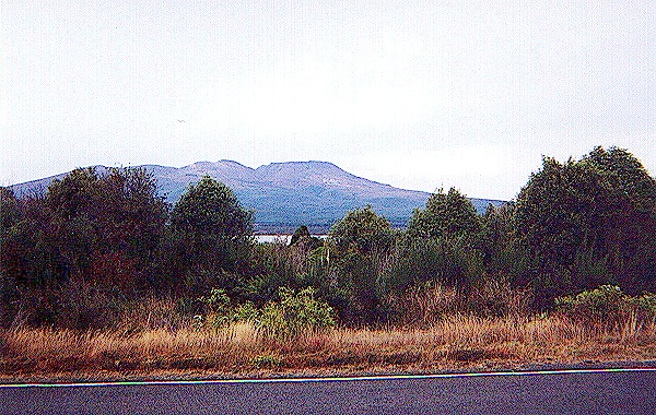
built out of a DC-3, and a beautiful view of Lake 
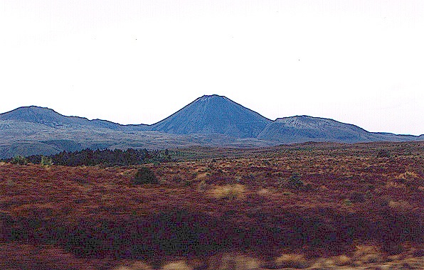
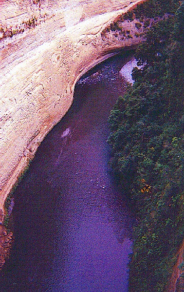
Taupo. The lake was formed by a volcanic cataclysm in 181 AD, reportedly noted as far away as Europe. By whom, we were unable to find out.  
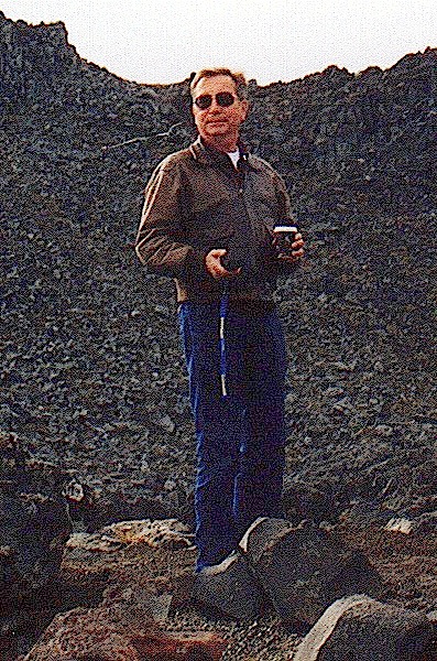
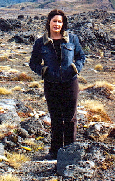
It is so new, the beach doesn't have any sand, just little bitty black rocks, grinding their way down.
We are now approaching the Tongariro National Park, which was one of the locations for the opening "massed armies" scene and some of the scenes of Mordor reportedly in "The Return of the King." Stefanie got the only photos we have of Mount Doom, which in New Zealand is Mount Ngauruhoe, and Mount Ruapehu, which didn't have much snow, even though it was late fall.  I was looking for a vantage point from which Mount Ngauruhoe would look more isolated, but I didn't find one.
The foliage rapidly gives way to a bleak and blasted landscape which seems to be a likely place for the Plains of Gorgoroth, the last battle of men and elves against the forces of Sauron. Tongariro and Mordor were actually formed by similar volcanic processes.  From the right vantage point, the landscape is one of utter desolation, but there is a ski lift which was being repaired, so there were plenty of people about.
One of the attractions in the park is the Grand Chateau, which has a wonderful view of the scenery of the "massed armies" at the beginning of "The Fellowship of the Ring." On the other side of the road is an information center and little snack bar where we got a welcome cup of coffee to ward off the morning chill. There is a neat display of the geology of the area, where Stefanie became an expert on Taupo volcanic activity.
Stefanie snapped this picture of me crawling around the volcanic rock of the Iwikau Ski Village with my Garmin GPS, trying to find the exact spot where Isildur cut the ring from Sauron's hand. I had to climb down a hill to find it. When you look for places with a GPS, you need a compass as well.  Later on I took this picture of Stefanie in "Mordor." It looks pretty bleak, but there is a parking lot just off camera which provides a welcome indication of modern civilization.
Our trip next took us to the carrot capital of the world, Ohakune, where we started up the Ohakune Mountain Road Scenic Drive to find the general area of the Ithilien Camp. After a short while, we decided that since we couldn't get to the exact spot, which is on private land, we had probably seen a representative sample of the foliage and scenery along the way. Because the road was uncomfortably narrow, we turned around and continued our trip along NH 1 to the New Zealand Army Museum at Waioru. We took the museum tour, but didn't feel like taking pictures of war things, of which I have probably seen enough.
I was trying to make up a little time, so we didn't stop at the Waitarere Forest region around Foxton. A lot of the area looks like what I imagine the Shire looks like. We almost expected to see some hobbit holes, but the people around here live pretty much like Iowa farmers. Of course, this time of year there isn't much farming being done. The biggest difference we noted was at night when we couldn't take any pictures. The small population density is really evident in the lack of lights, which aren't needed where there aren't any people. At the time, there was a general hydroelectric power shortage, which may have contributed to the dark nights.
We continued our trip to the Anduin River scene on the Rangitikei River in Ohotu. We got lost and had to get directions from the nice folks at the wool market in Utiku before we found the right place to turn to get to the High Time Bungy bridge. There are signs along the road, but American drivers have to look for them. The bungy attraction was closed for the season, which is why we missed it the first time. Our next side trip was along the Otaki Gorge, which served as a wilder part of the Shire in "The Fellowship." We had been warned that the road was rather narrow for camper vans, but we didn't have any real trouble. (Stefanie says this isn't exactly true, but she was on the brush scratching side.)
The road is narrow in some places, and kind of twisty, and occasionally Stefanie's side of the van got whacked by tree branches, but the little Fiat chugged right along. It gave us good training for the Akatarawa road from Waikane to Kaitoke, which scared both of us, especially when we met big trucks coming from that general direction. New Zealand drivers have to be the bravest and most competent people in the world!
Click here to go to Day 4 * Click here to send us e-mail